North Lodge at the top of Minnett's Hill
Introduction
The photograph on this page of North Lodge at the top of Minnett's Hill by Tim Heaton as part of the Geograph project.
The Geograph project started in 2005 with the aim of publishing, organising and preserving representative images for every square kilometre of Great Britain, Ireland and the Isle of Man.

There are currently over 7.5m images from over 14,400 individuals and you can help contribute to the project by visiting https://www.geograph.org.uk
North Lodge at the top of Minnett's Hill
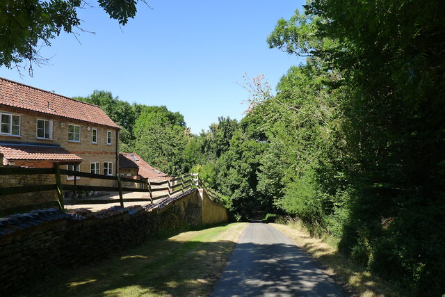
Image: © Tim Heaton Taken: 13 Jul 2022
Once part of the former Syston Park estate. The hill drops down the Jurassic limestone escarpment towards the River Witham.
Images are licensed for reuse under creativecommons.org/licenses/by-sa/2.0
Image Location
Latitude
52.961076
Longitude
-0.599054