Hill Top Farm
Introduction
The photograph on this page of Hill Top Farm by Kevin Waterhouse as part of the Geograph project.
The Geograph project started in 2005 with the aim of publishing, organising and preserving representative images for every square kilometre of Great Britain, Ireland and the Isle of Man.

There are currently over 7.5m images from over 14,400 individuals and you can help contribute to the project by visiting https://www.geograph.org.uk
Hill Top Farm
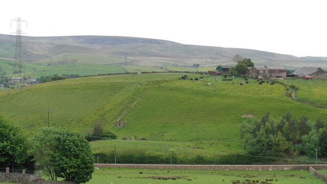
Image: © Kevin Waterhouse Taken: 22 May 2017
The farm sits above Hill Top Colliery remains which extend along Calderbrook Road. The footpath going up the hillside in the centre of this view passes a small concrete shed that may be part of the colliery remains
Images are licensed for reuse under creativecommons.org/licenses/by-sa/2.0
Image Location
Latitude
53.656567
Longitude
-2.092564