Pannal, Drury Lane road wall
Introduction
The photograph on this page of Pannal, Drury Lane road wall by Mel Towler as part of the Geograph project.
The Geograph project started in 2005 with the aim of publishing, organising and preserving representative images for every square kilometre of Great Britain, Ireland and the Isle of Man.

There are currently over 7.5m images from over 14,400 individuals and you can help contribute to the project by visiting https://www.geograph.org.uk
Pannal, Drury Lane road wall
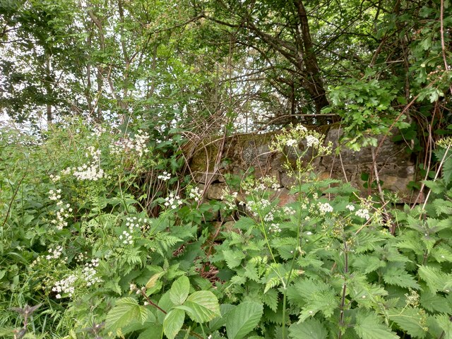
Image: © Mel Towler Taken: 2 Jun 2022
According to the OS benchmark database there is a cutmark on this stretch of dry stone wall on Drury Lane. Nothing was found but an easier search will be made in the winter.
Images are licensed for reuse under creativecommons.org/licenses/by-sa/2.0
Image Location
Latitude
53.956668
Longitude
-1.524189