Madeley Market Station
Introduction
The photograph on this page of Madeley Market Station by John M as part of the Geograph project.
The Geograph project started in 2005 with the aim of publishing, organising and preserving representative images for every square kilometre of Great Britain, Ireland and the Isle of Man.

There are currently over 7.5m images from over 14,400 individuals and you can help contribute to the project by visiting https://www.geograph.org.uk
Madeley Market Station
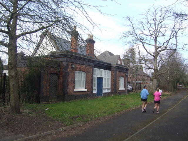
Image: © John M Taken: 9 Mar 2008
The station was opened in 1863 and closed in 1953. The trackbed is now used as a footpath to Blist's Hill Museum.
Images are licensed for reuse under creativecommons.org/licenses/by-sa/2.0
Image Location
Latitude
52.635884
Longitude
-2.444432