Road Junction in Selston
Introduction
The photograph on this page of Road Junction in Selston by Jonathan Clitheroe as part of the Geograph project.
The Geograph project started in 2005 with the aim of publishing, organising and preserving representative images for every square kilometre of Great Britain, Ireland and the Isle of Man.

There are currently over 7.5m images from over 14,400 individuals and you can help contribute to the project by visiting https://www.geograph.org.uk
Road Junction in Selston
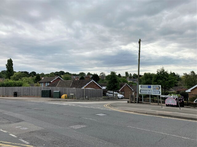
Image: © Jonathan Clitheroe Taken: 15 Jul 2022
Sperry Close can be seen here joining the larger and busier Nottingham Road.
Images are licensed for reuse under creativecommons.org/licenses/by-sa/2.0
Image Location
Latitude
53.069681
Longitude
-1.304029