Beresford Avenue, Foleshill
Introduction
The photograph on this page of Beresford Avenue, Foleshill by A J Paxton as part of the Geograph project.
The Geograph project started in 2005 with the aim of publishing, organising and preserving representative images for every square kilometre of Great Britain, Ireland and the Isle of Man.

There are currently over 7.5m images from over 14,400 individuals and you can help contribute to the project by visiting https://www.geograph.org.uk
Beresford Avenue, Foleshill
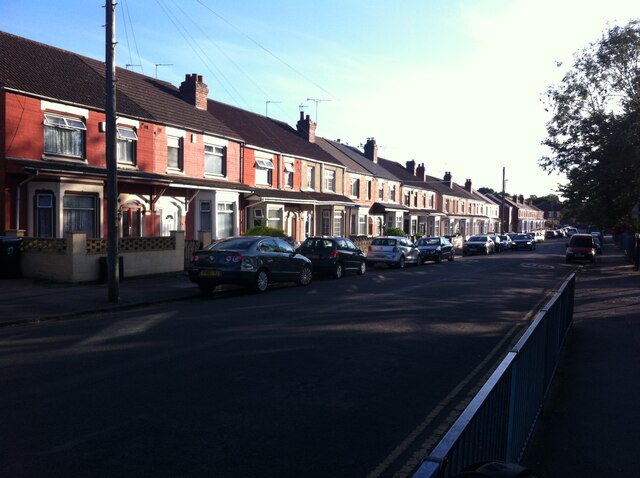
Image: © A J Paxton Taken: 14 Jul 2022
Beresford Avenue is one of a group of early 20th century streets in suburban Coventry with names redolent of the British empire and naval power at their peak in the late 19th and early 20th centuries: Fisher, Churchill and Durbar are others. Beresford presumably refers to Admiral Charles William de la Poer Beresford, hero of campaigns in Egypt and Sudan and later an MP and Commander in Chief of the Channel Fleet and later the Mediterrannean Fleet; a summary of his life can be found at the Beresford family site http://www.beresfordfamilysociety.org/background.html . This is now one of the most multicultural districts of Coventry, with families of mainly south Asian heritage: "We are here because you were there".
Images are licensed for reuse under creativecommons.org/licenses/by-sa/2.0
Image Location
Latitude
52.436626
Longitude
-1.499827