Undulating fields near Auchtertool
Introduction
The photograph on this page of Undulating fields near Auchtertool by M J Richardson as part of the Geograph project.
The Geograph project started in 2005 with the aim of publishing, organising and preserving representative images for every square kilometre of Great Britain, Ireland and the Isle of Man.

There are currently over 7.5m images from over 14,400 individuals and you can help contribute to the project by visiting https://www.geograph.org.uk
Undulating fields near Auchtertool
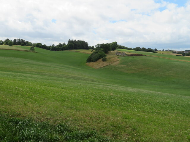
Image: © M J Richardson Taken: 13 Jul 2022
The ruins on the ridge are of Image It is present on GB1900 mapping, but there is no Canmore entry. An entry in Scotland's Places reads :- 'Extensive outoffices and Farm house now occupied by Labouring Men, the property of Mr Boswell of Balmuto' https://scotlandsplaces.gov.uk/digital-volumes/ordnance-survey-name-books/fife-and-kinross-shire-os-name-books-1853-1855/fife-and-kinross-shire-volume-133/33. There is a planning application for five courtyard houses to be built on the site https://www.fifetoday.co.uk/news/politics/council/new-homes-planned-for-site-of-ruin-near-fife-town-3754661e
Images are licensed for reuse under creativecommons.org/licenses/by-sa/2.0
Image Location
Latitude
56.097657
Longitude
-3.245748