New Haw - River Wey Navigation
Introduction
The photograph on this page of New Haw - River Wey Navigation by Colin Smith as part of the Geograph project.
The Geograph project started in 2005 with the aim of publishing, organising and preserving representative images for every square kilometre of Great Britain, Ireland and the Isle of Man.

There are currently over 7.5m images from over 14,400 individuals and you can help contribute to the project by visiting https://www.geograph.org.uk
New Haw - River Wey Navigation
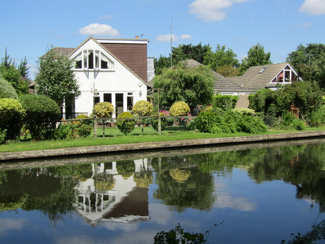
Image: © Colin Smith Taken: 8 Jul 2022
An attractive riverside residential area north of New Haw Lock.
Images are licensed for reuse under creativecommons.org/licenses/by-sa/2.0
Image Location
Latitude
51.361222
Longitude
-0.485378