Drybridge Terrace, Monmouth
Introduction
The photograph on this page of Drybridge Terrace, Monmouth by Derek Harper as part of the Geograph project.
The Geograph project started in 2005 with the aim of publishing, organising and preserving representative images for every square kilometre of Great Britain, Ireland and the Isle of Man.

There are currently over 7.5m images from over 14,400 individuals and you can help contribute to the project by visiting https://www.geograph.org.uk
Drybridge Terrace, Monmouth
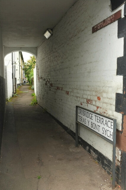
Image: © Derek Harper Taken: 25 Jun 2021
"Early to mid C19. The houses are notable as a surviving back terrace in Monmouth and have charming small gardens opposite, some retaining their privy by the stream. The row is marked as Tyler's Terrace on the 1881 O.S. map." Seen from Drybridge Street, which is used by the Offa's Dyke Path.
Images are licensed for reuse under creativecommons.org/licenses/by-sa/2.0
Image Location
Latitude
51.809184
Longitude
-2.722282