Possible slab stone, Blackness-to-Brownshill GS9285
Introduction
The photograph on this page of Possible slab stone, Blackness-to-Brownshill GS9285 by Cotswold Voluntary Wardens as part of the Geograph project.
The Geograph project started in 2005 with the aim of publishing, organising and preserving representative images for every square kilometre of Great Britain, Ireland and the Isle of Man.

There are currently over 7.5m images from over 14,400 individuals and you can help contribute to the project by visiting https://www.geograph.org.uk
Possible slab stone, Blackness-to-Brownshill GS9285
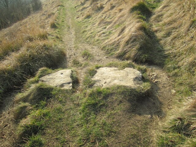
Image: © Cotswold Voluntary Wardens Taken: 2 Mar 2013
Large stones (possible lost stile) in the ground in large field between the farm in Brownshill and Blackness, just below a wooden stile into the farmyard at the top. On public right of way MCH32
Images are licensed for reuse under creativecommons.org/licenses/by-sa/2.0
Image Location
Latitude
51.720788
Longitude
-2.174565