Stile north of Wrottesley Home Farm in Staffordshire
Introduction
The photograph on this page of Stile north of Wrottesley Home Farm in Staffordshire by Roger Kidd as part of the Geograph project.
The Geograph project started in 2005 with the aim of publishing, organising and preserving representative images for every square kilometre of Great Britain, Ireland and the Isle of Man.

There are currently over 7.5m images from over 14,400 individuals and you can help contribute to the project by visiting https://www.geograph.org.uk
Stile north of Wrottesley Home Farm in Staffordshire
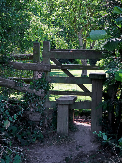
Image: © Roger Kidd Taken: 9 Jul 2022
A public footpath from Holyhead Road (near Shop Lane) leads through fields south-west across the former extended Wrottesley estate. Here it passes between the attractive gardens at Orchard House and The Bull Ride.
Images are licensed for reuse under creativecommons.org/licenses/by-sa/2.0
Image Location
Latitude
52.615926
Longitude
-2.220173