Borers Arms Road, Copthorne
Introduction
The photograph on this page of Borers Arms Road, Copthorne by Robin Webster as part of the Geograph project.
The Geograph project started in 2005 with the aim of publishing, organising and preserving representative images for every square kilometre of Great Britain, Ireland and the Isle of Man.

There are currently over 7.5m images from over 14,400 individuals and you can help contribute to the project by visiting https://www.geograph.org.uk
Borers Arms Road, Copthorne
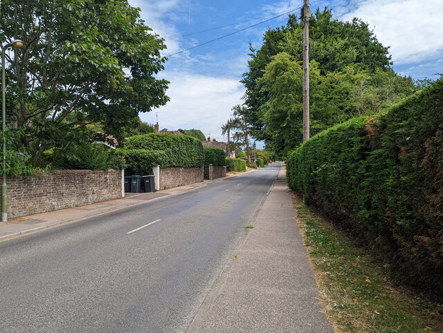
Image: © Robin Webster Taken: 13 Jul 2022
There has been no pub of this name in the vicinity from 1870, the first of the large scale Ordnance Survey maps. So was there ever?
Images are licensed for reuse under creativecommons.org/licenses/by-sa/2.0
Image Location
Latitude
51.13934
Longitude
-0.111976