Start of the Fitness Trail
Introduction
The photograph on this page of Start of the Fitness Trail by Des Blenkinsopp as part of the Geograph project.
The Geograph project started in 2005 with the aim of publishing, organising and preserving representative images for every square kilometre of Great Britain, Ireland and the Isle of Man.

There are currently over 7.5m images from over 14,400 individuals and you can help contribute to the project by visiting https://www.geograph.org.uk
Start of the Fitness Trail
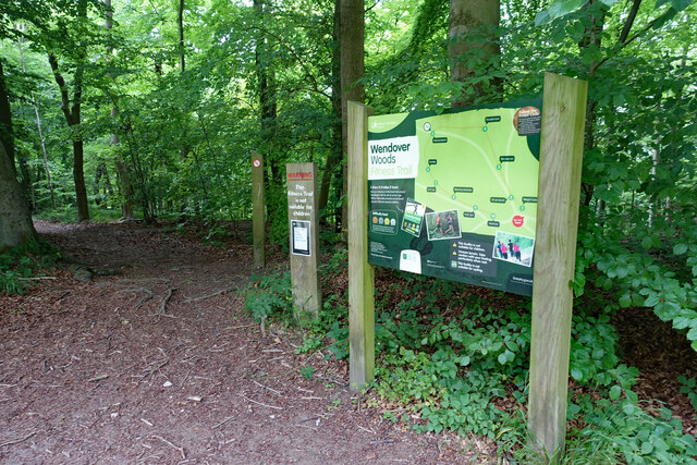
Image: © Des Blenkinsopp Taken: 12 Jul 2022
Following the outline of the old hill fort on Boddington Hill, the Fitness Trail is a pleasant woodland path with unobtrusive wooden exercise features at intervals should you feel so inclined.
Images are licensed for reuse under creativecommons.org/licenses/by-sa/2.0
Image Location
Latitude
51.765879
Longitude
-0.72113