Crossing point on the C2C
Introduction
The photograph on this page of Crossing point on the C2C by Oliver Dixon as part of the Geograph project.
The Geograph project started in 2005 with the aim of publishing, organising and preserving representative images for every square kilometre of Great Britain, Ireland and the Isle of Man.

There are currently over 7.5m images from over 14,400 individuals and you can help contribute to the project by visiting https://www.geograph.org.uk
Crossing point on the C2C
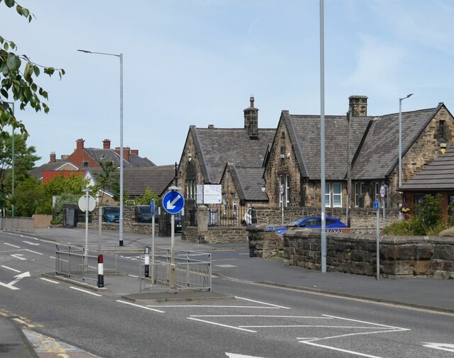
Image: © Oliver Dixon Taken: 11 Jul 2022
Refuge in the centre of Durham Road (B6168), Annfield Plain to provide a safe crossing for the C2C cycle route which follows the line of the former Consett and Sunderland Railway. Annfield Plain Junior School on the far side.
Images are licensed for reuse under creativecommons.org/licenses/by-sa/2.0
Image Location
Latitude
54.857014
Longitude
-1.735006