Junction of Bloomhall Road and Durning Road, Norwood
Introduction
The photograph on this page of Junction of Bloomhall Road and Durning Road, Norwood by Robin Stott as part of the Geograph project.
The Geograph project started in 2005 with the aim of publishing, organising and preserving representative images for every square kilometre of Great Britain, Ireland and the Isle of Man.

There are currently over 7.5m images from over 14,400 individuals and you can help contribute to the project by visiting https://www.geograph.org.uk
Junction of Bloomhall Road and Durning Road, Norwood
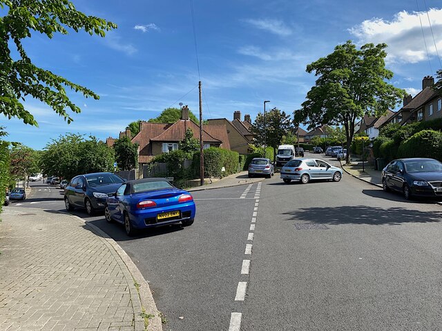
Image: © Robin Stott Taken: 19 May 2022
Bloomhall Road heads up and over the hill; Durning road heads down and rejoins it.
Images are licensed for reuse under creativecommons.org/licenses/by-sa/2.0
Image Location
Latitude
51.423992
Longitude
-0.091493