National Cycle Route 45 in the Wyre Forest
Introduction
The photograph on this page of National Cycle Route 45 in the Wyre Forest by Mat Fascione as part of the Geograph project.
The Geograph project started in 2005 with the aim of publishing, organising and preserving representative images for every square kilometre of Great Britain, Ireland and the Isle of Man.

There are currently over 7.5m images from over 14,400 individuals and you can help contribute to the project by visiting https://www.geograph.org.uk
National Cycle Route 45 in the Wyre Forest
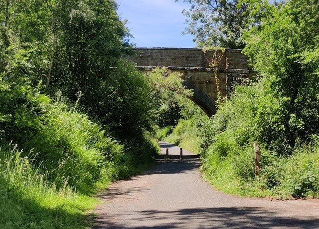
Image: © Mat Fascione Taken: 9 Jul 2022
Following the route of a former railway line. The Wyre Forest measures 26.34 square kilometres (10.17 sq mi), it straddles the border of Worcestershire and Shropshire. It is one of the largest areas of semi-natural (partially unmanaged) woodland in the UK.
Images are licensed for reuse under creativecommons.org/licenses/by-sa/2.0
Image Location
Latitude
52.386443
Longitude
-2.355673