Development area at Barter's Farm Nurseries
Introduction
The photograph on this page of Development area at Barter's Farm Nurseries by Jonathan Billinger as part of the Geograph project.
The Geograph project started in 2005 with the aim of publishing, organising and preserving representative images for every square kilometre of Great Britain, Ireland and the Isle of Man.

There are currently over 7.5m images from over 14,400 individuals and you can help contribute to the project by visiting https://www.geograph.org.uk
Development area at Barter's Farm Nurseries
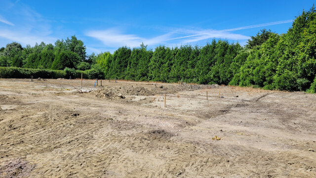
Image: © Jonathan Billinger Taken: 8 Jul 2022
An area being prepared for a new polytunnel.
Images are licensed for reuse under creativecommons.org/licenses/by-sa/2.0
Image Location
Latitude
51.231465
Longitude
-2.246864