Celsea Place
Introduction
The photograph on this page of Celsea Place by Bill Nicholls as part of the Geograph project.
The Geograph project started in 2005 with the aim of publishing, organising and preserving representative images for every square kilometre of Great Britain, Ireland and the Isle of Man.

There are currently over 7.5m images from over 14,400 individuals and you can help contribute to the project by visiting https://www.geograph.org.uk
Celsea Place
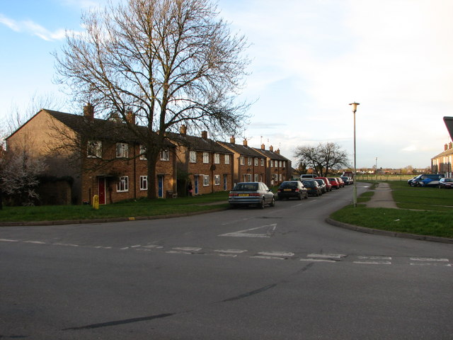
Image: © Bill Nicholls Taken: 9 Mar 2008
This is a road of old hospital housing built back in the 1960s. I think the ends are prefabricated sections. Had a few friends live round here. The properties are owned by the housing association now.
Images are licensed for reuse under creativecommons.org/licenses/by-sa/2.0
Image Location
Latitude
51.569875
Longitude
-1.148968