Approaching Wetters Bridge
Introduction
The photograph on this page of Approaching Wetters Bridge by philandju as part of the Geograph project.
The Geograph project started in 2005 with the aim of publishing, organising and preserving representative images for every square kilometre of Great Britain, Ireland and the Isle of Man.

There are currently over 7.5m images from over 14,400 individuals and you can help contribute to the project by visiting https://www.geograph.org.uk
Approaching Wetters Bridge
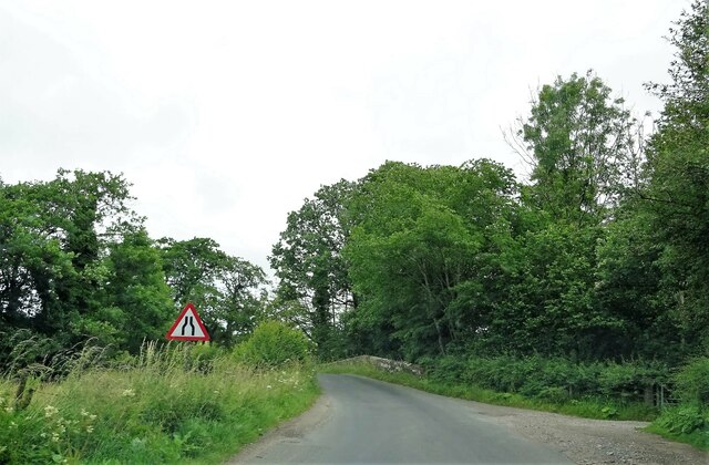
Image: © philandju Taken: 8 Jul 2022
A Grade II listed structure on Twitter Lane spanning Bashall Brook to the south west of Waddington.
Images are licensed for reuse under creativecommons.org/licenses/by-sa/2.0
Image Location
Latitude
53.884688
Longitude
-2.424108