A view over Llandre
Introduction
The photograph on this page of A view over Llandre by John Lucas as part of the Geograph project.
The Geograph project started in 2005 with the aim of publishing, organising and preserving representative images for every square kilometre of Great Britain, Ireland and the Isle of Man.

There are currently over 7.5m images from over 14,400 individuals and you can help contribute to the project by visiting https://www.geograph.org.uk
A view over Llandre
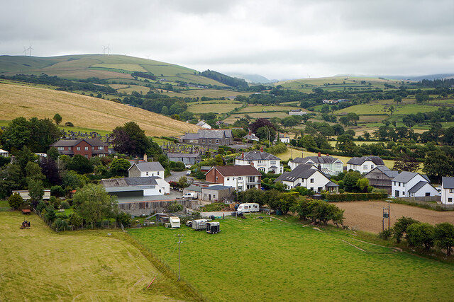
Image: © John Lucas Taken: 5 Jul 2022
The old school building is visible in the centre of the view. It closed in the 1990s and later became a soft play centre. That subsequently closed in 2016 after a couple of years of operation. The building was being offered for sale in 2017 for £230,000. It is featured on the Waymarking website: https://www.waymarking.com/waymarks/WMAZRK_Old_Llandre_School_Llandre_Bow_Street_Ceredigion_Wales_UK
Images are licensed for reuse under creativecommons.org/licenses/by-sa/2.0
Image Location
Latitude
52.457199
Longitude
-4.019902