Bryn Castell
Introduction
The photograph on this page of Bryn Castell by John Lucas as part of the Geograph project.
The Geograph project started in 2005 with the aim of publishing, organising and preserving representative images for every square kilometre of Great Britain, Ireland and the Isle of Man.

There are currently over 7.5m images from over 14,400 individuals and you can help contribute to the project by visiting https://www.geograph.org.uk
Bryn Castell
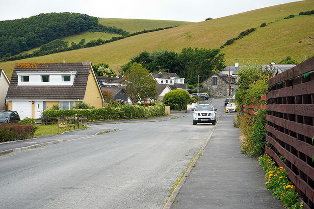
Image: © John Lucas Taken: 5 Jul 2022
Now a road through a housing estate, but was once an old route leading to Bryn-y-castell [farm] and over the hills to Llandre and Borth. Much of the route can still be walked, access to which is via the farm, which can be seen ahead.
Images are licensed for reuse under creativecommons.org/licenses/by-sa/2.0
Image Location
Latitude
52.441904
Longitude
-4.030973