Lane to Bosbury parish hall
Introduction
The photograph on this page of Lane to Bosbury parish hall by Fabian Musto as part of the Geograph project.
The Geograph project started in 2005 with the aim of publishing, organising and preserving representative images for every square kilometre of Great Britain, Ireland and the Isle of Man.

There are currently over 7.5m images from over 14,400 individuals and you can help contribute to the project by visiting https://www.geograph.org.uk
Lane to Bosbury parish hall
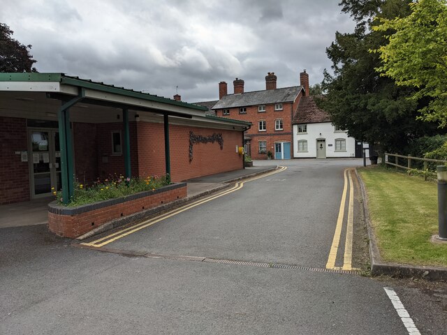
Image: © Fabian Musto Taken: 12 Aug 2021
This lane becomes a dead end when it reaches the car park at Bosbury parish hall (village hall). The B4220 road and buildings in Bosbury can be seen in this view.
Images are licensed for reuse under creativecommons.org/licenses/by-sa/2.0
Image Location
Latitude
52.088101
Longitude
-2.446847