A green lane, Hollybush
Introduction
The photograph on this page of A green lane, Hollybush by Philip Halling as part of the Geograph project.
The Geograph project started in 2005 with the aim of publishing, organising and preserving representative images for every square kilometre of Great Britain, Ireland and the Isle of Man.

There are currently over 7.5m images from over 14,400 individuals and you can help contribute to the project by visiting https://www.geograph.org.uk
A green lane, Hollybush
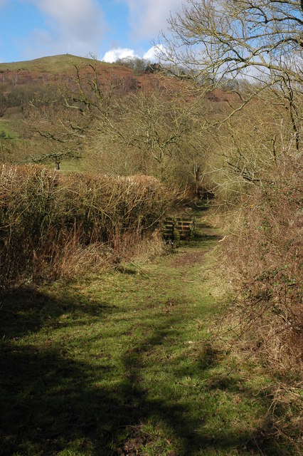
Image: © Philip Halling Taken: 9 Mar 2008
This green lane at Hollybush passes to the north of White House Farm. Ragged Stone Hill can be seen in the background with a person stood on its summit.
Images are licensed for reuse under creativecommons.org/licenses/by-sa/2.0
Image Location
Latitude
52.025432
Longitude
-2.340411