Pastureland at Annesley
Introduction
The photograph on this page of Pastureland at Annesley by Bill Boaden as part of the Geograph project.
The Geograph project started in 2005 with the aim of publishing, organising and preserving representative images for every square kilometre of Great Britain, Ireland and the Isle of Man.

There are currently over 7.5m images from over 14,400 individuals and you can help contribute to the project by visiting https://www.geograph.org.uk
Pastureland at Annesley
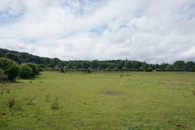
Image: © Bill Boaden Taken: 2 Jul 2022
This land was between the colliery and the cottages. The stumpy spire of All Saints Church is seen in the trees behind.
Images are licensed for reuse under creativecommons.org/licenses/by-sa/2.0
Image Location
Latitude
53.076783
Longitude
-1.231069