Oliver Road Lagoons Nature Reserve
Introduction
The photograph on this page of Oliver Road Lagoons Nature Reserve by Glyn Baker as part of the Geograph project.
The Geograph project started in 2005 with the aim of publishing, organising and preserving representative images for every square kilometre of Great Britain, Ireland and the Isle of Man.

There are currently over 7.5m images from over 14,400 individuals and you can help contribute to the project by visiting https://www.geograph.org.uk
Oliver Road Lagoons Nature Reserve
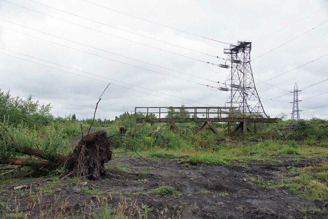
Image: © Glyn Baker Taken: 29 Jun 2022
Oliver Road Reserve is owned by The Land Trust https://thelandtrust.org.uk/space/oliver-road-lagoons/ but since 2018 has been managed by Essex Wildlife Trust https://www.essexwt.org.uk/. The 40ha site is that of a former coal fired power station demolished around 1997. The land contaminated with fly ash became secondary birch woodland with little biodiversity. The clearance of many of the trees has led to significant improvement in this. 59 “Red List” species have been recorded on the site as well as a further 27 nationally scarce species. The reserve is particularly good for invertebrates and includes the largest intertidal mudflats in the inner Thames area. The reserve is closed to the public due to the contaminated nature of the soil. However you could join the Wednesday work party https://www.essexwt.org.uk/volunteering-opportunities/work-party-volunteers-oliver-road-lagoons To continue on a tour of Wildlife Trust sites in Essex visit Image
Images are licensed for reuse under creativecommons.org/licenses/by-sa/2.0
Image Location
Latitude
51.47097
Longitude
0.283693