Kyleakin
Introduction
The photograph on this page of Kyleakin by David Dixon as part of the Geograph project.
The Geograph project started in 2005 with the aim of publishing, organising and preserving representative images for every square kilometre of Great Britain, Ireland and the Isle of Man.

There are currently over 7.5m images from over 14,400 individuals and you can help contribute to the project by visiting https://www.geograph.org.uk
Kyleakin
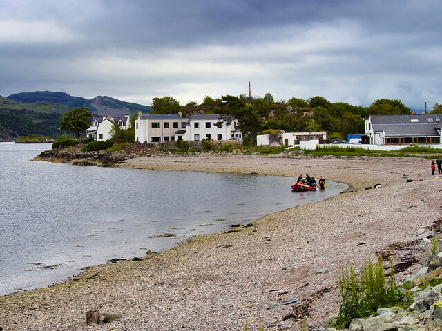
Image: © David Dixon Taken: 23 Jun 2022
Kyleakin (Scottish Gaelic: Caol Àcain) is a village situated on the east coast of the Isle of Skye in the Inner Hebrides. The village is along the strait of Kyle Akin opposite the northwest Scottish mainland town of Kyle of Lochalsh.
Images are licensed for reuse under creativecommons.org/licenses/by-sa/2.0
Image Location
Latitude
57.273278
Longitude
-5.72871