Site of former railway bridge
Introduction
The photograph on this page of Site of former railway bridge by David Martin as part of the Geograph project.
The Geograph project started in 2005 with the aim of publishing, organising and preserving representative images for every square kilometre of Great Britain, Ireland and the Isle of Man.

There are currently over 7.5m images from over 14,400 individuals and you can help contribute to the project by visiting https://www.geograph.org.uk
Site of former railway bridge
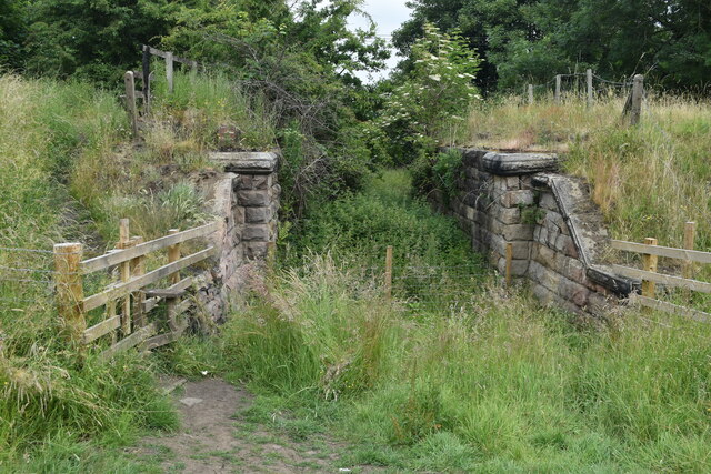
Image: © David Martin Taken: 24 Jun 2022
The public footpath is in the field but a permissive path runs along the former railway embankment to the west from this point.
Images are licensed for reuse under creativecommons.org/licenses/by-sa/2.0
Image Location


Leaflet Map data © OpenStreetMap
Latitude
53.902127
Longitude
-1.661177