Brearley Brook Valley
Introduction
The photograph on this page of Brearley Brook Valley by Kevin Waterhouse as part of the Geograph project.
The Geograph project started in 2005 with the aim of publishing, organising and preserving representative images for every square kilometre of Great Britain, Ireland and the Isle of Man.

There are currently over 7.5m images from over 14,400 individuals and you can help contribute to the project by visiting https://www.geograph.org.uk
Brearley Brook Valley
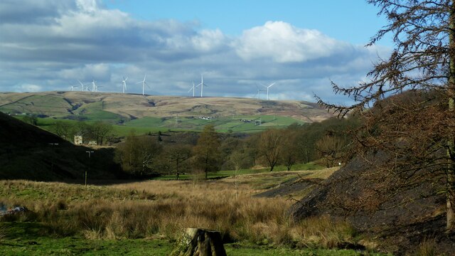
Image: © Kevin Waterhouse Taken: 23 Feb 2016
Sheepbank Colliery spoil heaps are on the right of the view, with Crook Moor wind farm on the skyline
Images are licensed for reuse under creativecommons.org/licenses/by-sa/2.0
Image Location
Latitude
53.633925
Longitude
-2.082079