Public footpath at the northern edge of Kenfig Hill
Introduction
The photograph on this page of Public footpath at the northern edge of Kenfig Hill by eswales as part of the Geograph project.
The Geograph project started in 2005 with the aim of publishing, organising and preserving representative images for every square kilometre of Great Britain, Ireland and the Isle of Man.

There are currently over 7.5m images from over 14,400 individuals and you can help contribute to the project by visiting https://www.geograph.org.uk
Public footpath at the northern edge of Kenfig Hill
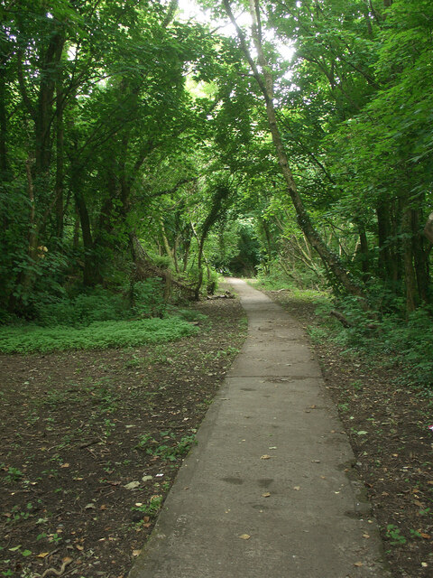
Image: © eswales Taken: 15 Jun 2022
Heading off through woodland on a concrete walkway from the western end of New Road.
Images are licensed for reuse under creativecommons.org/licenses/by-sa/2.0
Image Location
Latitude
51.53552
Longitude
-3.683522