Footpath across a ploughed field near Castleton
Introduction
The photograph on this page of Footpath across a ploughed field near Castleton by Robin Drayton as part of the Geograph project.
The Geograph project started in 2005 with the aim of publishing, organising and preserving representative images for every square kilometre of Great Britain, Ireland and the Isle of Man.

There are currently over 7.5m images from over 14,400 individuals and you can help contribute to the project by visiting https://www.geograph.org.uk
Footpath across a ploughed field near Castleton
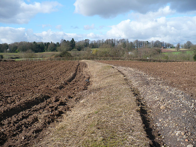
Image: © Robin Drayton Taken: 27 Feb 2008
The farmer here has left a wide strip unploughed for the footpath across this field. The A48(M) is just behind the fence at the far side of the field.
Images are licensed for reuse under creativecommons.org/licenses/by-sa/2.0
Image Location
Latitude
51.541381
Longitude
-3.088617