Heol ger Cothi Vale / Road near Cothi Vale
Introduction
The photograph on this page of Heol ger Cothi Vale / Road near Cothi Vale by Alan Richards as part of the Geograph project.
The Geograph project started in 2005 with the aim of publishing, organising and preserving representative images for every square kilometre of Great Britain, Ireland and the Isle of Man.

There are currently over 7.5m images from over 14,400 individuals and you can help contribute to the project by visiting https://www.geograph.org.uk
Heol ger Cothi Vale / Road near Cothi Vale
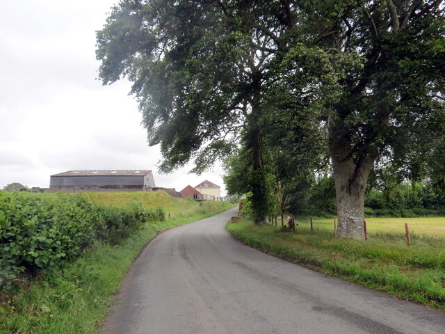
Image: © Alan Richards Taken: 26 Jun 2022
Heol yn agosau at ffarm o'r enw Cothi Vale. A road approaching a farm known as Cothi Vale.
Images are licensed for reuse under creativecommons.org/licenses/by-sa/2.0
Image Location
Latitude
52.016068
Longitude
-3.977376