Carreg Twrla / Twrla Stone
Introduction
The photograph on this page of Carreg Twrla / Twrla Stone by Alan Richards as part of the Geograph project.
The Geograph project started in 2005 with the aim of publishing, organising and preserving representative images for every square kilometre of Great Britain, Ireland and the Isle of Man.

There are currently over 7.5m images from over 14,400 individuals and you can help contribute to the project by visiting https://www.geograph.org.uk
Carreg Twrla / Twrla Stone
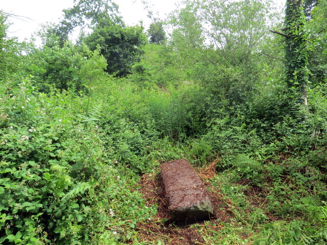
Image: © Alan Richards Taken: 26 Jun 2022
Maenhir a elwir Carreg Twrla ar lawr a thu hwnt iddo yn y pellter mae tomen. Nid oes sicrwydd i ba cyfnod y mae'r dau heneb yn perthyn. A recumbent standing stone known as the Twrla Stone and just beyond is an earthen mound. Both monuments are of uncertain dates.
Images are licensed for reuse under creativecommons.org/licenses/by-sa/2.0
Image Location
Latitude
52.014297
Longitude
-3.975695