Information board in the woods
Introduction
The photograph on this page of Information board in the woods by Jeremy Bolwell as part of the Geograph project.
The Geograph project started in 2005 with the aim of publishing, organising and preserving representative images for every square kilometre of Great Britain, Ireland and the Isle of Man.

There are currently over 7.5m images from over 14,400 individuals and you can help contribute to the project by visiting https://www.geograph.org.uk
Information board in the woods
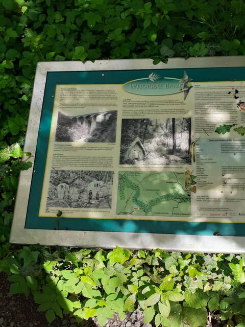
Image: © Jeremy Bolwell Taken: 3 Jun 2022
As always I am grateful to the many people behind these info boards, bringing the past to life for a rookie visitor like me.
Images are licensed for reuse under creativecommons.org/licenses/by-sa/2.0
Image Location
Latitude
55.174265
Longitude
-1.677014