Castercliff Camp Hillfort
Introduction
The photograph on this page of Castercliff Camp Hillfort by Kevin Rushton as part of the Geograph project.
The Geograph project started in 2005 with the aim of publishing, organising and preserving representative images for every square kilometre of Great Britain, Ireland and the Isle of Man.

There are currently over 7.5m images from over 14,400 individuals and you can help contribute to the project by visiting https://www.geograph.org.uk
Castercliff Camp Hillfort
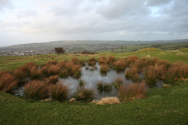
Image: © Kevin Rushton Taken: 2 Mar 2008
Bell pit on the top of the fort, these pits were filled in in 1515 prior to that it is recorded as early as 1296 that sea coals were won and sold within the Forest of Trawden, the Castercliff pits are thought to have provided coal to Bolton Abbey in 1328
Images are licensed for reuse under creativecommons.org/licenses/by-sa/2.0
Image Location
Latitude
53.841897
Longitude
-2.1758