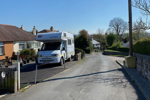
Lower end of Golvers Hill Road, Kingsteignton
Introduction
The photograph on this page of Lower end of Golvers Hill Road, Kingsteignton by Robin Stott as part of the Geograph project.
The Geograph project started in 2005 with the aim of publishing, organising and preserving representative images for every square kilometre of Great Britain, Ireland and the Isle of Man.
There are currently over 7.5m images from over 14,400 individuals and you can help contribute to the project by visiting https://www.geograph.org.uk

Image: © Robin Stott Taken: 25 Apr 2022
On the left, modest bungalows perhaps date from the early years of Kingsteignton's expansion. Who knows if the property is the home of a local resident, or a second home, or a holiday let. A late twentieth-century trend is illustrated: a front garden has become a parking space. On the right is the entry to Leat Close, a much more recent development. The house down the hill looks old: the massive tall central chimney is a clue. It's possible that this form reduced the risk of sparks setting light to a thatched roof.

