Bungalows, Brookfield Close, Kingsteignton
Introduction
The photograph on this page of Bungalows, Brookfield Close, Kingsteignton by Robin Stott as part of the Geograph project.
The Geograph project started in 2005 with the aim of publishing, organising and preserving representative images for every square kilometre of Great Britain, Ireland and the Isle of Man.

There are currently over 7.5m images from over 14,400 individuals and you can help contribute to the project by visiting https://www.geograph.org.uk
Bungalows, Brookfield Close, Kingsteignton
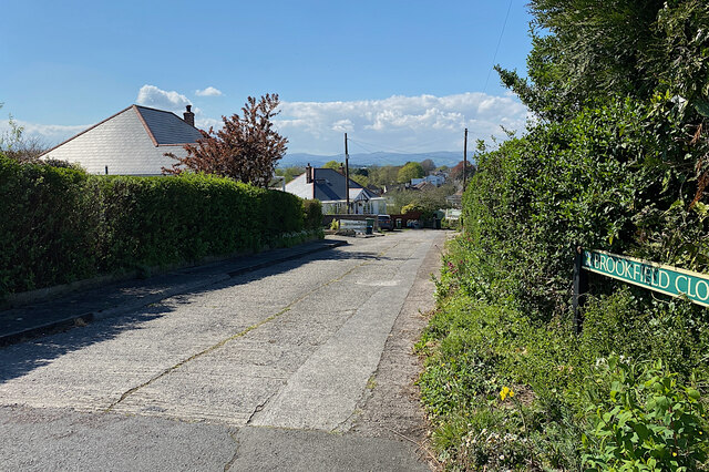
Image: © Robin Stott Taken: 25 Apr 2022
On Kingsteignton's heights older development enjoys a view of southeastern Dartmoor.
Images are licensed for reuse under creativecommons.org/licenses/by-sa/2.0
Image Location
Latitude
50.550195
Longitude
-3.591423