Fish house
Introduction
The photograph on this page of Fish house by don cload as part of the Geograph project.
The Geograph project started in 2005 with the aim of publishing, organising and preserving representative images for every square kilometre of Great Britain, Ireland and the Isle of Man.

There are currently over 7.5m images from over 14,400 individuals and you can help contribute to the project by visiting https://www.geograph.org.uk
Fish house
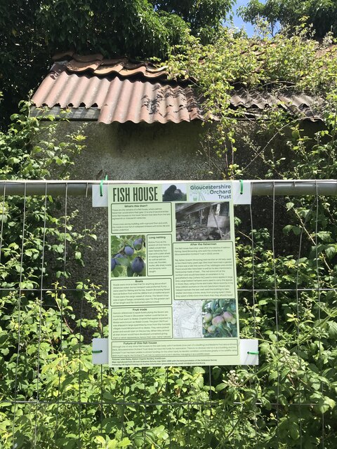
Image: © don cload Taken: 20 Jun 2022
Compare with the photo of the ruin (now fenced off) taken in 2008, see https://www.geograph.org.uk/photo/782824
Images are licensed for reuse under creativecommons.org/licenses/by-sa/2.0
Image Location


Leaflet Map data © OpenStreetMap
Latitude
51.821457
Longitude
-2.361504