Towdy Potts
Introduction
The photograph on this page of Towdy Potts by Tim Heaton as part of the Geograph project.
The Geograph project started in 2005 with the aim of publishing, organising and preserving representative images for every square kilometre of Great Britain, Ireland and the Isle of Man.

There are currently over 7.5m images from over 14,400 individuals and you can help contribute to the project by visiting https://www.geograph.org.uk
Towdy Potts
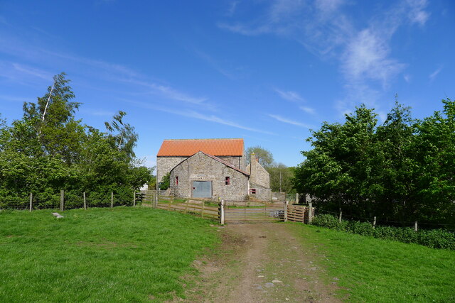
Image: © Tim Heaton Taken: 19 May 2022
Any ideas as to the origin of this name? 'Pots' or 'potts' might refer to holes in limestone ground, but there's not much limestone in this area.
Images are licensed for reuse under creativecommons.org/licenses/by-sa/2.0
Image Location
Latitude
54.719857
Longitude
-1.898284