Sheltered grazing under Little Hill
Introduction
The photograph on this page of Sheltered grazing under Little Hill by Alan Reid as part of the Geograph project.
The Geograph project started in 2005 with the aim of publishing, organising and preserving representative images for every square kilometre of Great Britain, Ireland and the Isle of Man.

There are currently over 7.5m images from over 14,400 individuals and you can help contribute to the project by visiting https://www.geograph.org.uk
Sheltered grazing under Little Hill
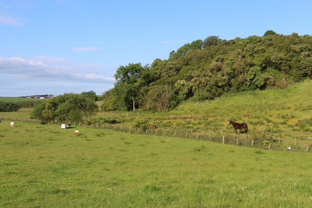
Image: © Alan Reid Taken: 15 Jun 2022
The ditched stream crossing the view eventually feeds into Garroch Burn before reaching Cessnock Water.
Images are licensed for reuse under creativecommons.org/licenses/by-sa/2.0
Image Location
Latitude
55.543975
Longitude
-4.425827