Oak, Shirburn
Introduction
The photograph on this page of Oak, Shirburn by Andrew Smith as part of the Geograph project.
The Geograph project started in 2005 with the aim of publishing, organising and preserving representative images for every square kilometre of Great Britain, Ireland and the Isle of Man.

There are currently over 7.5m images from over 14,400 individuals and you can help contribute to the project by visiting https://www.geograph.org.uk
Oak, Shirburn
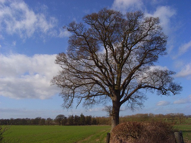
Image: © Andrew Smith Taken: 1 Mar 2008
Standing beside the Oxfordshire Way north of Model Farm. On the evidence of my brief visit, it seems that the Shirburn Estate liked its oak trees.
Images are licensed for reuse under creativecommons.org/licenses/by-sa/2.0
Image Location


Leaflet Map data © OpenStreetMap
Latitude
51.67197
Longitude
-0.994926