Penybryn Arms
Introduction
The photograph on this page of Penybryn Arms by Eirian Evans as part of the Geograph project.
The Geograph project started in 2005 with the aim of publishing, organising and preserving representative images for every square kilometre of Great Britain, Ireland and the Isle of Man.

There are currently over 7.5m images from over 14,400 individuals and you can help contribute to the project by visiting https://www.geograph.org.uk
Penybryn Arms
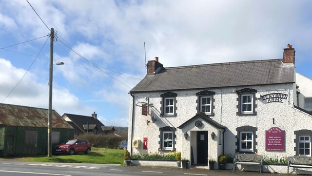
Image: © Eirian Evans Taken: 6 Apr 2022
Public house on the A478
Images are licensed for reuse under creativecommons.org/licenses/by-sa/2.0
Image Location


Leaflet Map data © OpenStreetMap
Latitude
52.054254
Longitude
-4.65953