Cycle path at Pyle
Introduction
The photograph on this page of Cycle path at Pyle by eswales as part of the Geograph project.
The Geograph project started in 2005 with the aim of publishing, organising and preserving representative images for every square kilometre of Great Britain, Ireland and the Isle of Man.

There are currently over 7.5m images from over 14,400 individuals and you can help contribute to the project by visiting https://www.geograph.org.uk
Cycle path at Pyle
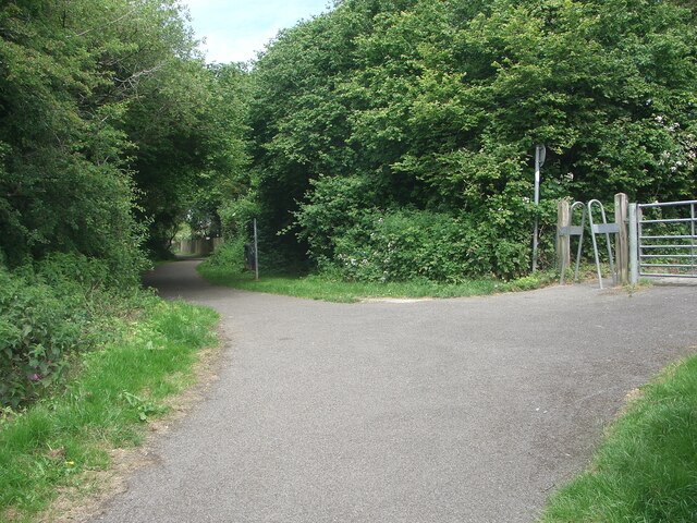
Image: © eswales Taken: 15 Jun 2022
A view part way along a cycle path which runs for nearly a kilometre along some of the route of the former Dyffryn Llynfi & Porthcawl Railway. Frog Pond Wood Nature Reserve lies at the southern end of the path. Access to and from the road Woodlands Park is possible through the cycle barrier seen. The cycle path is not a part of National Cycle Route 4. The latter passes through the area a short distance to the north.
Images are licensed for reuse under creativecommons.org/licenses/by-sa/2.0
Image Location
Latitude
51.527804
Longitude
-3.676029