Lower House
Introduction
The photograph on this page of Lower House by Philip Halling as part of the Geograph project.
The Geograph project started in 2005 with the aim of publishing, organising and preserving representative images for every square kilometre of Great Britain, Ireland and the Isle of Man.

There are currently over 7.5m images from over 14,400 individuals and you can help contribute to the project by visiting https://www.geograph.org.uk
Lower House
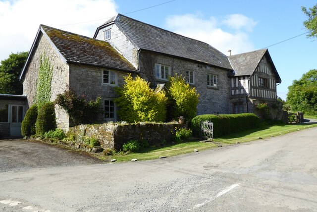
Image: © Philip Halling Taken: 12 Jun 2022
Lower House Farmhouse at Huntington. The late 18th century house is Grade II listed, See: https://historicengland.org.uk/listing/the-list/list-entry/1082464?section=official-list-entry
Images are licensed for reuse under creativecommons.org/licenses/by-sa/2.0
Image Location


Leaflet Map data © OpenStreetMap
Latitude
52.176264
Longitude
-3.097473