Ribble Way near Roman Road Farm
Introduction
The photograph on this page of Ribble Way near Roman Road Farm by Chris Heaton as part of the Geograph project.
The Geograph project started in 2005 with the aim of publishing, organising and preserving representative images for every square kilometre of Great Britain, Ireland and the Isle of Man.

There are currently over 7.5m images from over 14,400 individuals and you can help contribute to the project by visiting https://www.geograph.org.uk
Ribble Way near Roman Road Farm
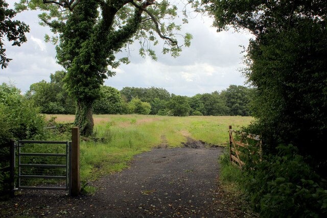
Image: © Chris Heaton Taken: 11 Jun 2022
The long distance farm takes a sharp right here, before heading towards Red Scar Woods
Images are licensed for reuse under creativecommons.org/licenses/by-sa/2.0
Image Location
Latitude
53.787344
Longitude
-2.629547