A40 Westway, view to Imperial College White City tower
Introduction
The photograph on this page of A40 Westway, view to Imperial College White City tower by David Hawgood as part of the Geograph project.
The Geograph project started in 2005 with the aim of publishing, organising and preserving representative images for every square kilometre of Great Britain, Ireland and the Isle of Man.

There are currently over 7.5m images from over 14,400 individuals and you can help contribute to the project by visiting https://www.geograph.org.uk
A40 Westway, view to Imperial College White City tower
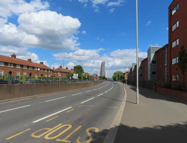
Image: © David Hawgood Taken: 11 Jun 2022
View from bus stop (for 95 bus) past Bloemfontein Road with the Skyscraper building of Imperial City Campus beyond. See Image for photo of that tower under construction. For a night photo at this bus stop see Image Houses on the left are in a narrow strip between Westway and the Central Line, above ground in this area. On the right are modern flats accessed from Jopling Close.
Images are licensed for reuse under creativecommons.org/licenses/by-sa/2.0
Image Location
Latitude
51.514128
Longitude
-0.237039