Goddington Lane, looking east
Introduction
The photograph on this page of Goddington Lane, looking east by Ian Capper as part of the Geograph project.
The Geograph project started in 2005 with the aim of publishing, organising and preserving representative images for every square kilometre of Great Britain, Ireland and the Isle of Man.

There are currently over 7.5m images from over 14,400 individuals and you can help contribute to the project by visiting https://www.geograph.org.uk
Goddington Lane, looking east
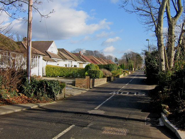
Image: © Ian Capper Taken: 30 Jan 2008
As the name "lane" suggests, Goddington Lane predates the mainly post war development here and in the surrounding roads, the lane itself appearing on the 1897 Revised New Series one inch map.
Images are licensed for reuse under creativecommons.org/licenses/by-sa/2.0
Image Location
Latitude
51.365255
Longitude
0.108621