Dunbarney Primary School, Bridge of Earn
Introduction
The photograph on this page of Dunbarney Primary School, Bridge of Earn by Richard Webb as part of the Geograph project.
The Geograph project started in 2005 with the aim of publishing, organising and preserving representative images for every square kilometre of Great Britain, Ireland and the Isle of Man.

There are currently over 7.5m images from over 14,400 individuals and you can help contribute to the project by visiting https://www.geograph.org.uk
Dunbarney Primary School, Bridge of Earn
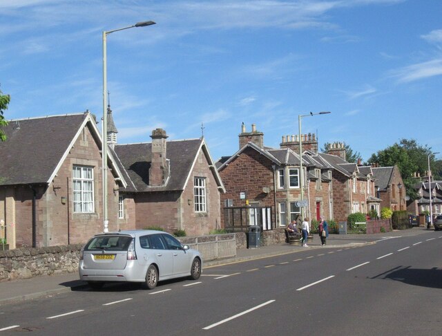
Image: © Richard Webb Taken: 7 Jun 2022
Main Street. Street names can be confusing here, a Dunning Road heads eastwards for instance. This is because the A90 originally ran a parallel course to the east crossing at the Old Bridge, now demolished.
Images are licensed for reuse under creativecommons.org/licenses/by-sa/2.0
Image Location
Latitude
56.349668
Longitude
-3.407353