Franklin House on SW side of Porchester Road
Introduction
The photograph on this page of Franklin House on SW side of Porchester Road by Roger Templeman as part of the Geograph project.
The Geograph project started in 2005 with the aim of publishing, organising and preserving representative images for every square kilometre of Great Britain, Ireland and the Isle of Man.

There are currently over 7.5m images from over 14,400 individuals and you can help contribute to the project by visiting https://www.geograph.org.uk
Franklin House on SW side of Porchester Road
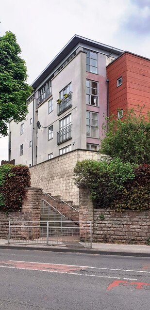
Image: © Roger Templeman Taken: 10 May 2022
There is an Ordnance Survey cut mark benchmark Image on the roadside wall about 8 feet right of the steps
Images are licensed for reuse under creativecommons.org/licenses/by-sa/2.0
Image Location
Latitude
52.977878
Longitude
-1.123956