Knockespoch policies from Suie Road viewpoint
Introduction
The photograph on this page of Knockespoch policies from Suie Road viewpoint by Alan Murray-Rust as part of the Geograph project.
The Geograph project started in 2005 with the aim of publishing, organising and preserving representative images for every square kilometre of Great Britain, Ireland and the Isle of Man.

There are currently over 7.5m images from over 14,400 individuals and you can help contribute to the project by visiting https://www.geograph.org.uk
Knockespoch policies from Suie Road viewpoint
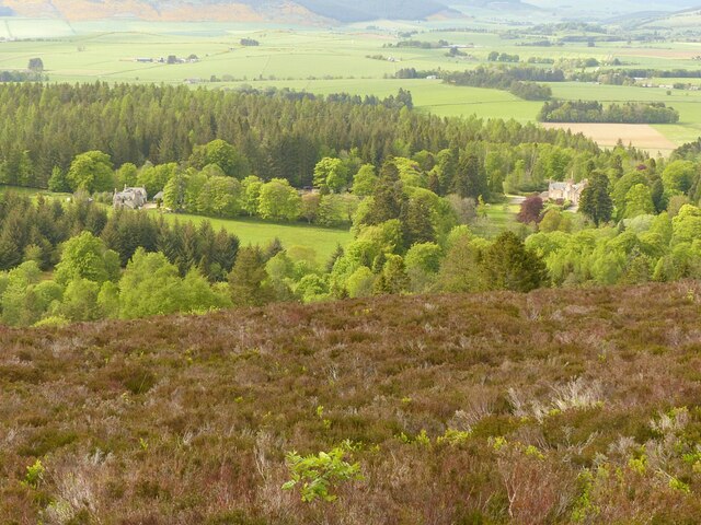
Image: © Alan Murray-Rust Taken: 20 May 2022
The obvious rows of broadleaf trees mark the basic outline of the policies which are described in the Aberdeenshire Historic Environment Record entry as “Remains of a 17th to 19th century designed landscape.” For a close view of the house, see https://www.geograph.org.uk/photo/7181322
Images are licensed for reuse under creativecommons.org/licenses/by-sa/2.0
Image Location
Latitude
57.303667
Longitude
-2.758449