Hackhurst Lane, Abinger Hammer
Introduction
The photograph on this page of Hackhurst Lane, Abinger Hammer by Malc McDonald as part of the Geograph project.
The Geograph project started in 2005 with the aim of publishing, organising and preserving representative images for every square kilometre of Great Britain, Ireland and the Isle of Man.

There are currently over 7.5m images from over 14,400 individuals and you can help contribute to the project by visiting https://www.geograph.org.uk
Hackhurst Lane, Abinger Hammer
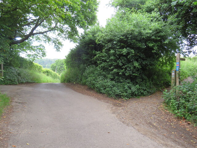
Image: © Malc McDonald Taken: 3 Jun 2022
Hackhurst Lane is a minor road climbing a hillside out of the village of Abinger Hammer. It is on the route of National Cycle Network route 22 which then turns along the public bridleway to the right. The blue and red sign attached to the wooden signpost indicates the cycle route.
Images are licensed for reuse under creativecommons.org/licenses/by-sa/2.0
Image Location
Latitude
51.219062
Longitude
-0.431625